Primož Jakopin, photo diary
Vranjica
Between Dihalnik v Grdem Dolu (Blowhole in Grdi Dol, synonym is Nova Križna jama) and Šteberk
April 19 to 26, 2026, 30 pictures
The images are typically about 768 by 1024 pixels in size.
The descriptions begin with the serial numbers of the
original image files. Alojz Troha—Lojz — was a great help to the author during the field trip on April 19,
and on April 26, the Vrbnjak family and Matej Furjan joined in. Once again, most of the photos were taken
handheld, without a tripod.
The field trips focused on key points above the underground route from the cave Nova Križna jama
(Dihalnik v Grdem dolu) to the source of the Lipsenjščica, where water from both caves, Križna jama and
Nova Križna jama, emerges; there are also a few photos from other locations.
Page, text and photos copyright (c) Primož Jakopin - Klok 2026, except for the photo MP1, which
was created by Martina Peterlin and is published with permission.
Lake Cerknica, April 19
56880. View from the Cvinger lookout point toward the east, across the lake
56881. Rake in Rakovski mostek — in front of the tunnel to Velika Karlovica. The flow in the stream before the rake was only about 5 liters per second, but it was still impossible to enter the cave; the gate at the beginning of the tunnel was lowered.
56882. View from the cart track leading to Rakovski mostek, south across the stream
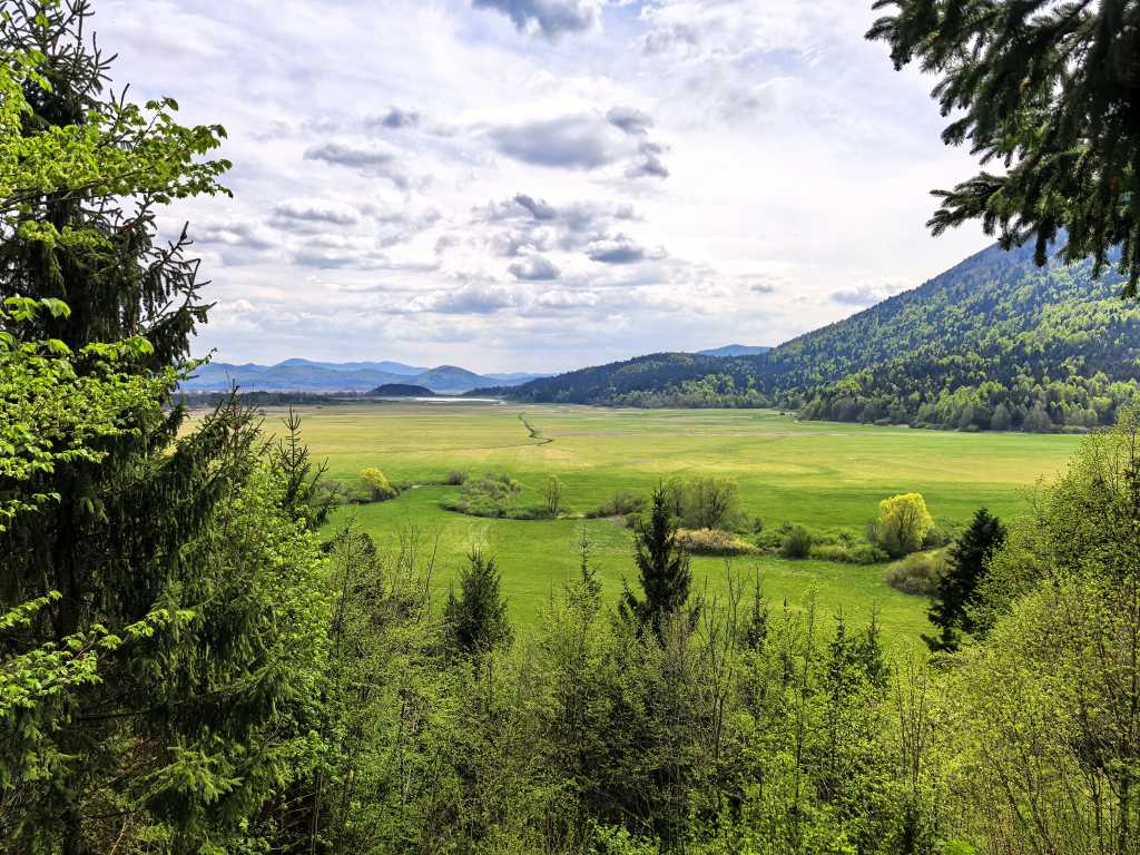
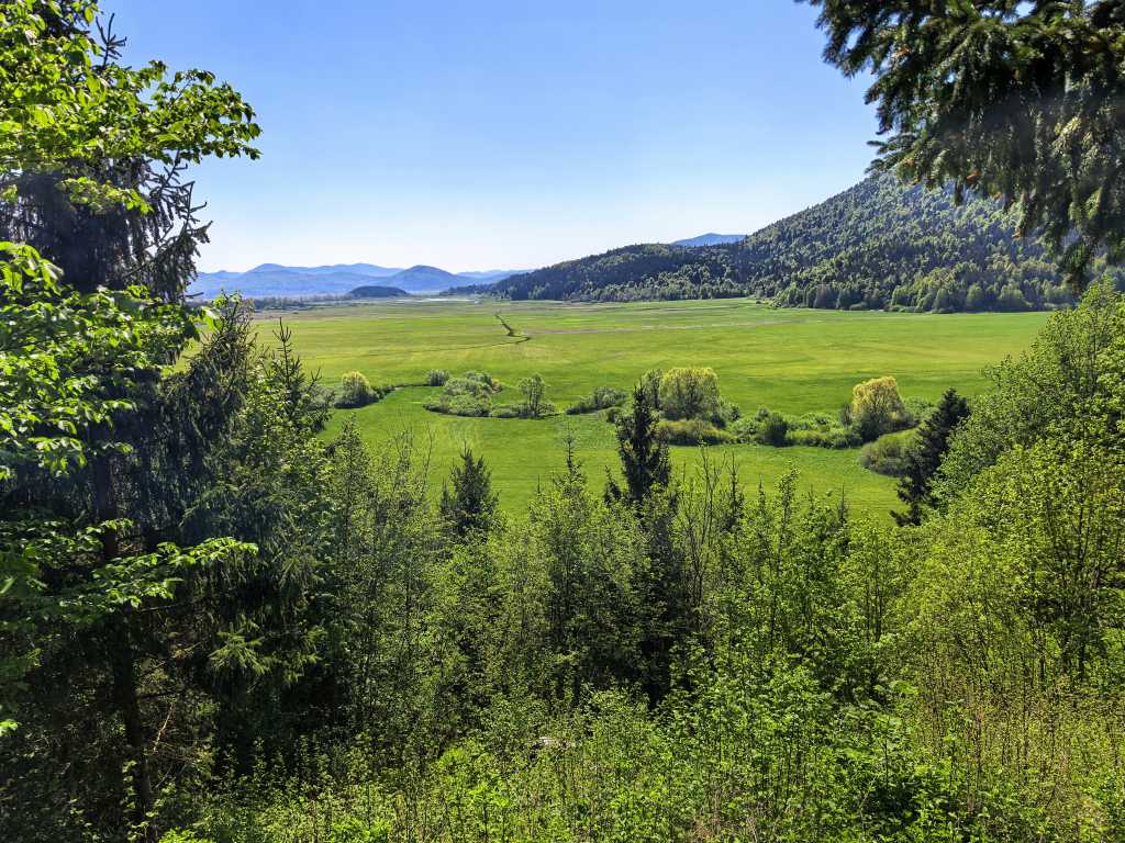
56883. View from a nearby point across the lake plain toward Mt. Slivnica
From Šteberk to Vranjica, April 19 and 26
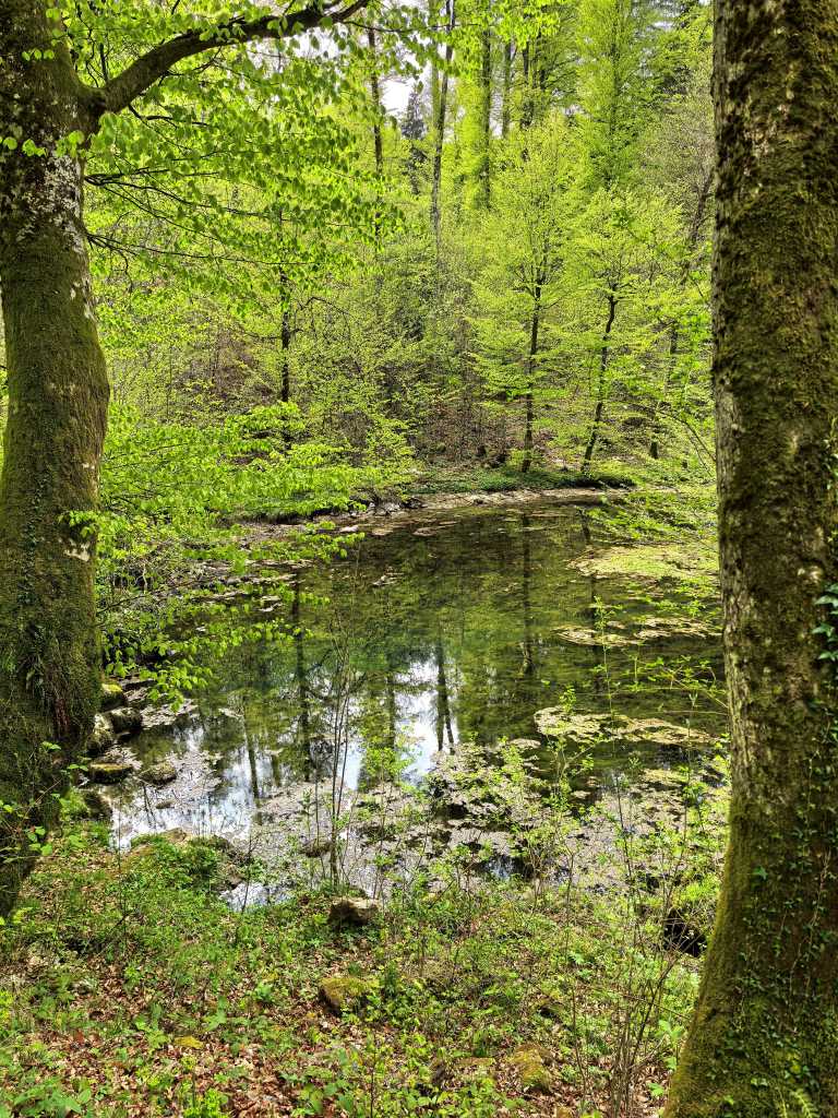
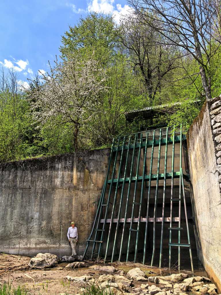
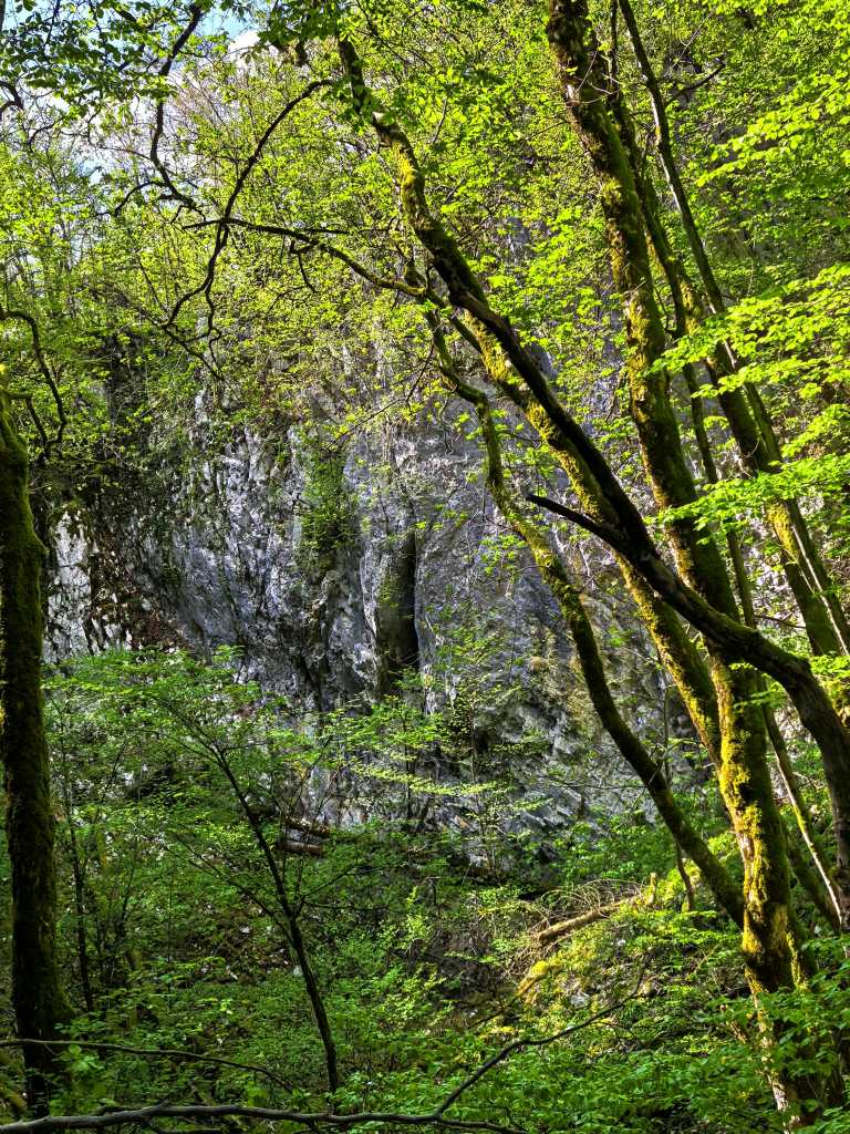
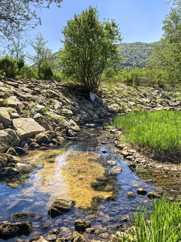
56884. Šteberk, the source of the Šteberščica rivulet, below the first dam named Lipsenjščica, which flows into Lake Cerknica, is a magnificent large basin with a rocky bottom. The spring itself is a long fissure at the top of the lower third of the image, where the sky and trees are reflected. The spring cave is 18 meters deep and 105 meters long.
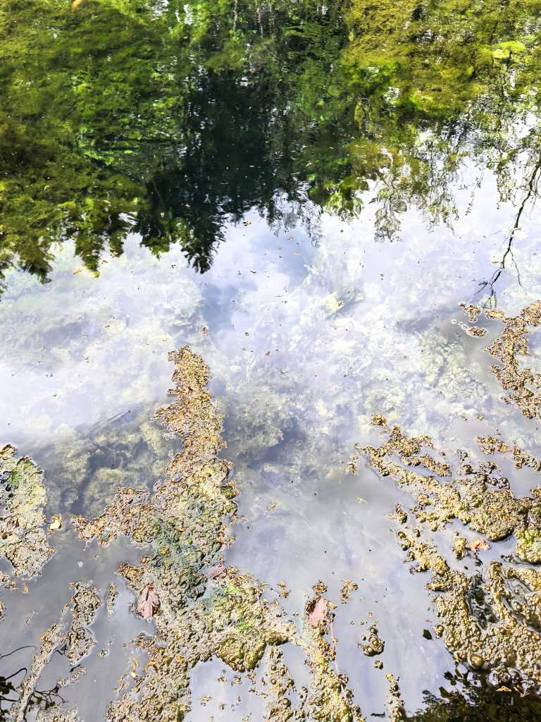
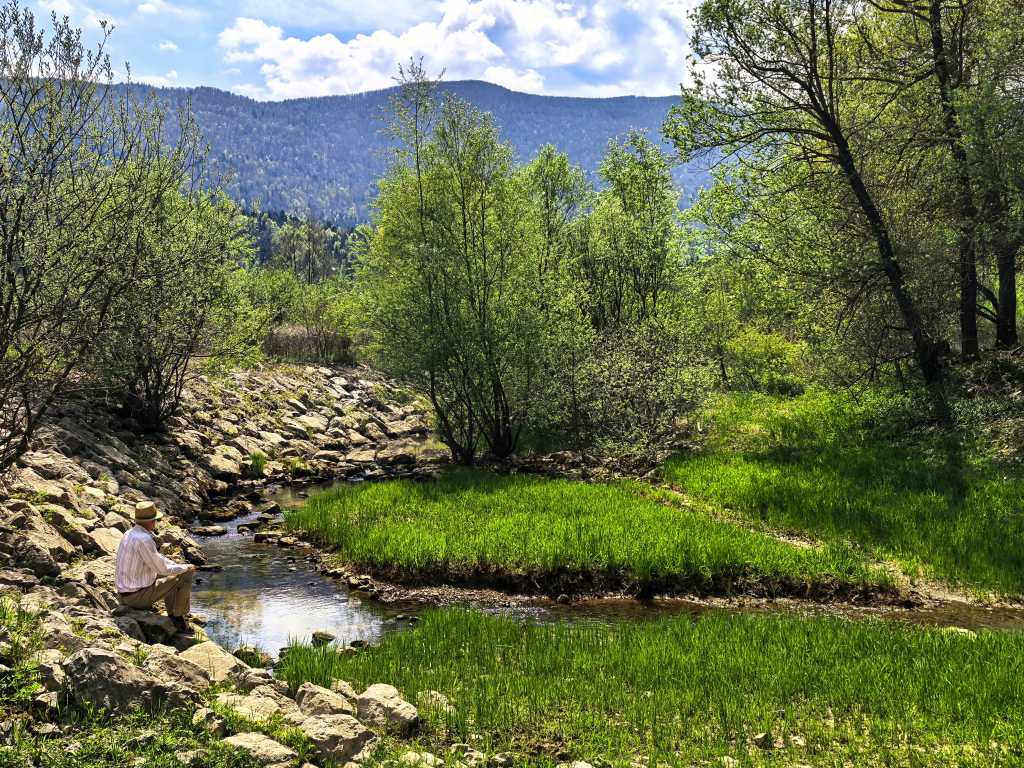
56885. To take the photo, the author stood on the rocks in the water beneath the deciduous tree on the left in the previous image, facing from the bank towards the water. The spring fissure runs from the middle of the bottom edge of the image upward almost to the top edge, but unfortunately it is not visible due to reflections. The photo should be repeated at night, with two lights above the water, facing down, to the left and right, and one in the water.
56897. A bend in the road from Križna jama toward Sveta Ana, a telephoto view north, from the intersection where one forest road heads south toward Sveta Ana and Lož, and the other west toward Lake Cerknica. Below the bend in the photo is the end of Nova Križna jama. The Vranjica sinkhole is to the northwest, below the intersection.
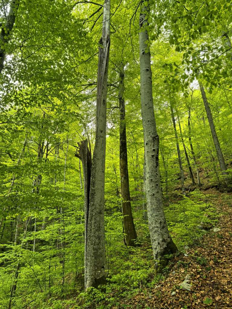
56896. Not far from the forest track that leads almost to the bottom of Vranjica is a beech tree that once had two tops, but one of them — according to Lojz’s estimate, containing enough firewood for over a month in the winter — broke off and fell down the slope of the collapse doline.
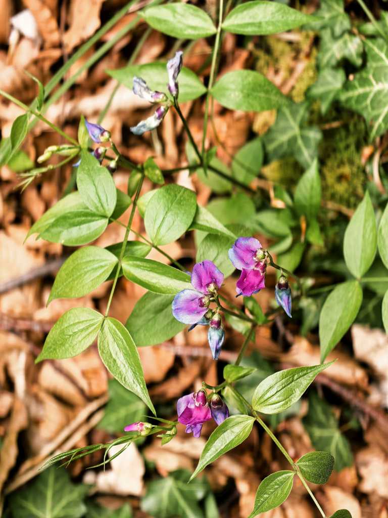
56895. Spring vetch, Lathyrus vernus ssp. vernus
56919. There is a fairly high overhang on the SW wall of Vranjica.
56894. View from inside the overhang into the sinkhole. In 1995, paleontologists from ZRC SAZU excavated there but found nothing. Very likely because the overhang is too open and because it faces east rather than south.
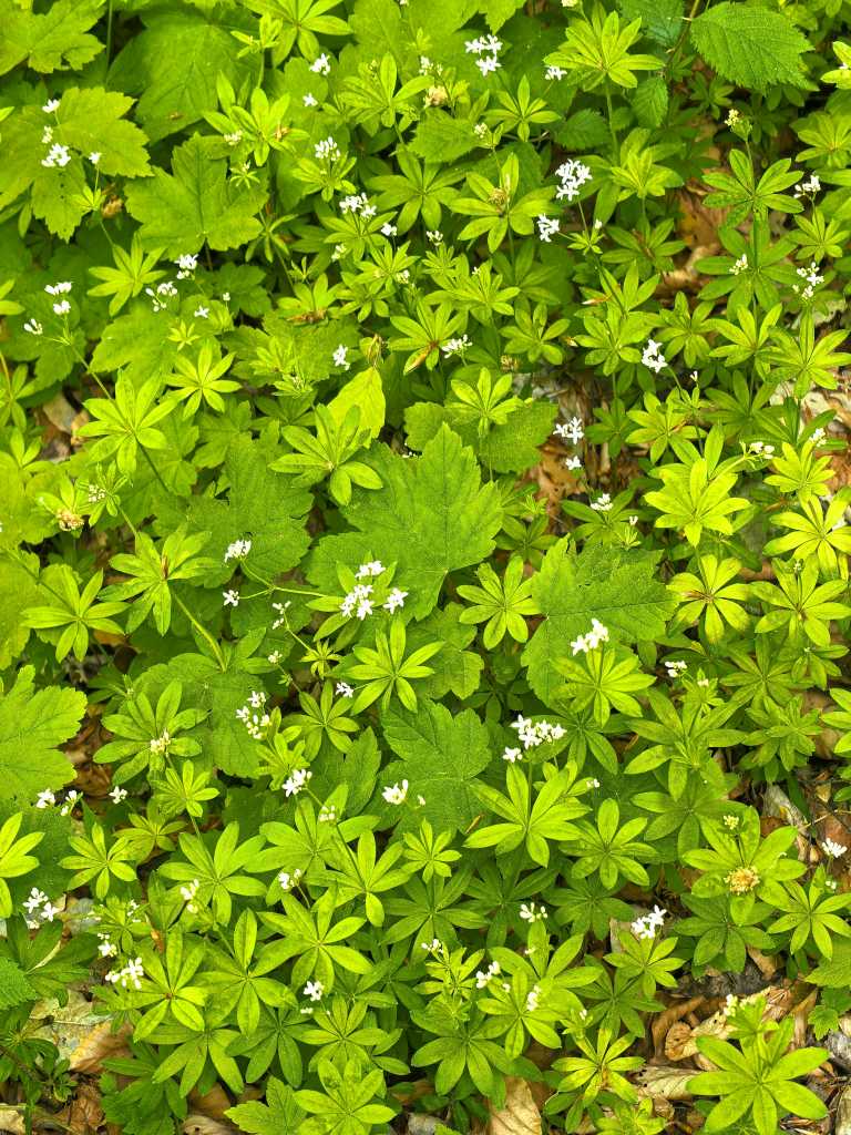
56920. Sweet woodruff, Galium odoratum — with white blooms, and beneath it the leaves of the sycamore maple, Acer pseudoplatanus
56923. View of the highest, approximately 15-meter-high NW wall of the doline
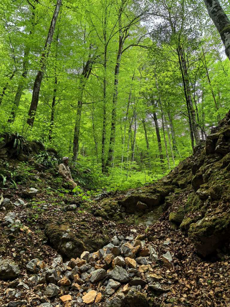
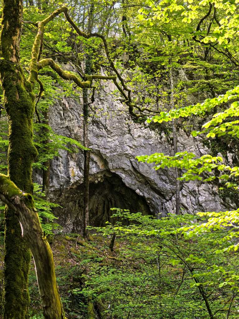
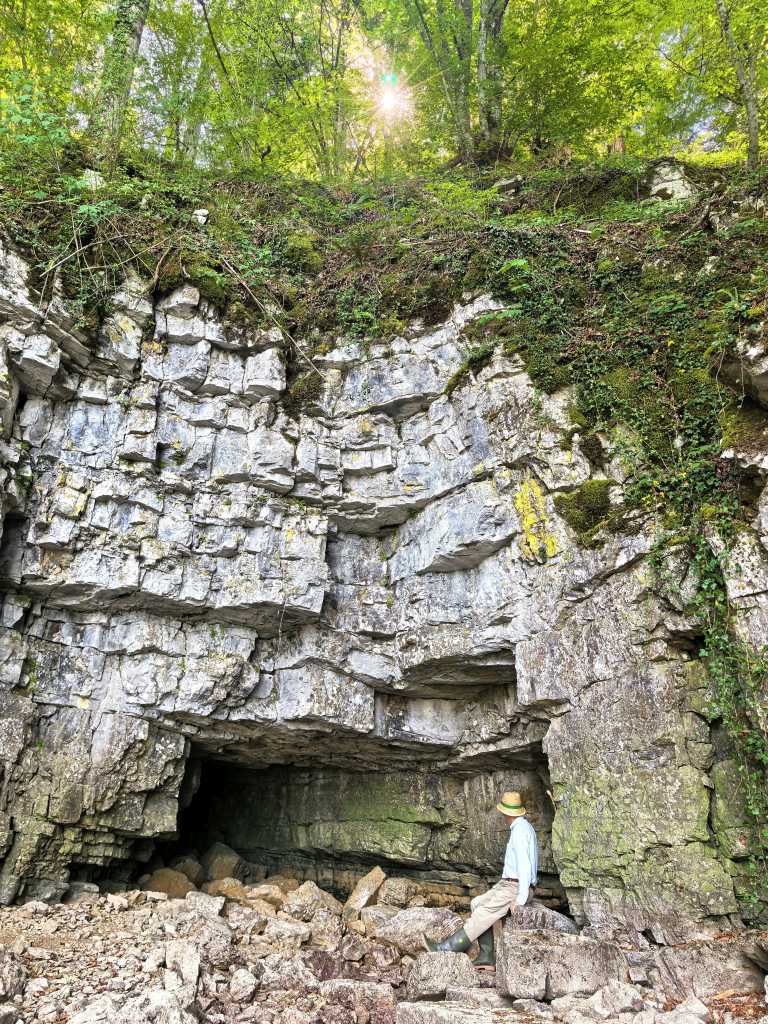
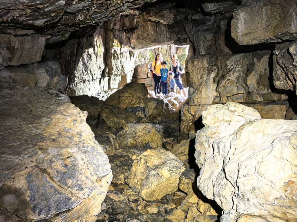
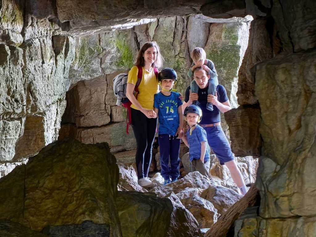
56889. View from in front of the cave excavation site, place with by far the strongest air current between Nova Križna jama and Šteberk, view up the doline. Cavers from the Association of Križna jama have been digging here for about 20 years. They have dug 20 meters deep along a long fissure, which, unfortunately, remains the same width throughout. A helmet fits easily into it on the narrower side, but you cannot turn it around. At the bottom of the work site, they lowered a camera into the fissure another 5 meters deeper, and its width still hadn’t changed.
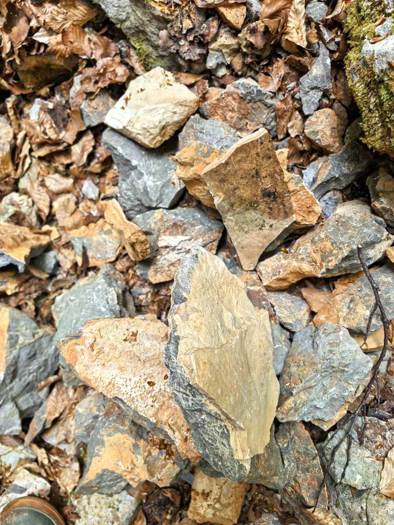
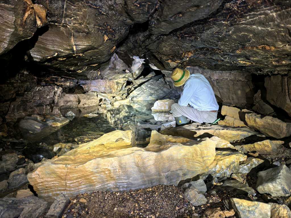
56891. Excavated rock, covered with sinter
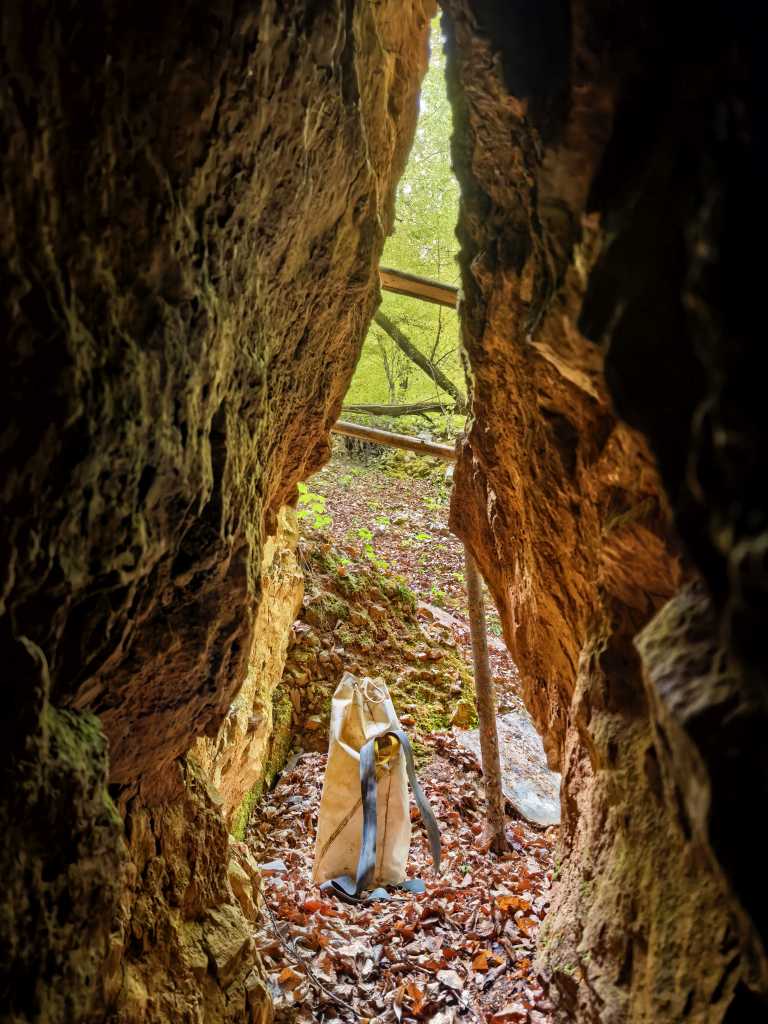
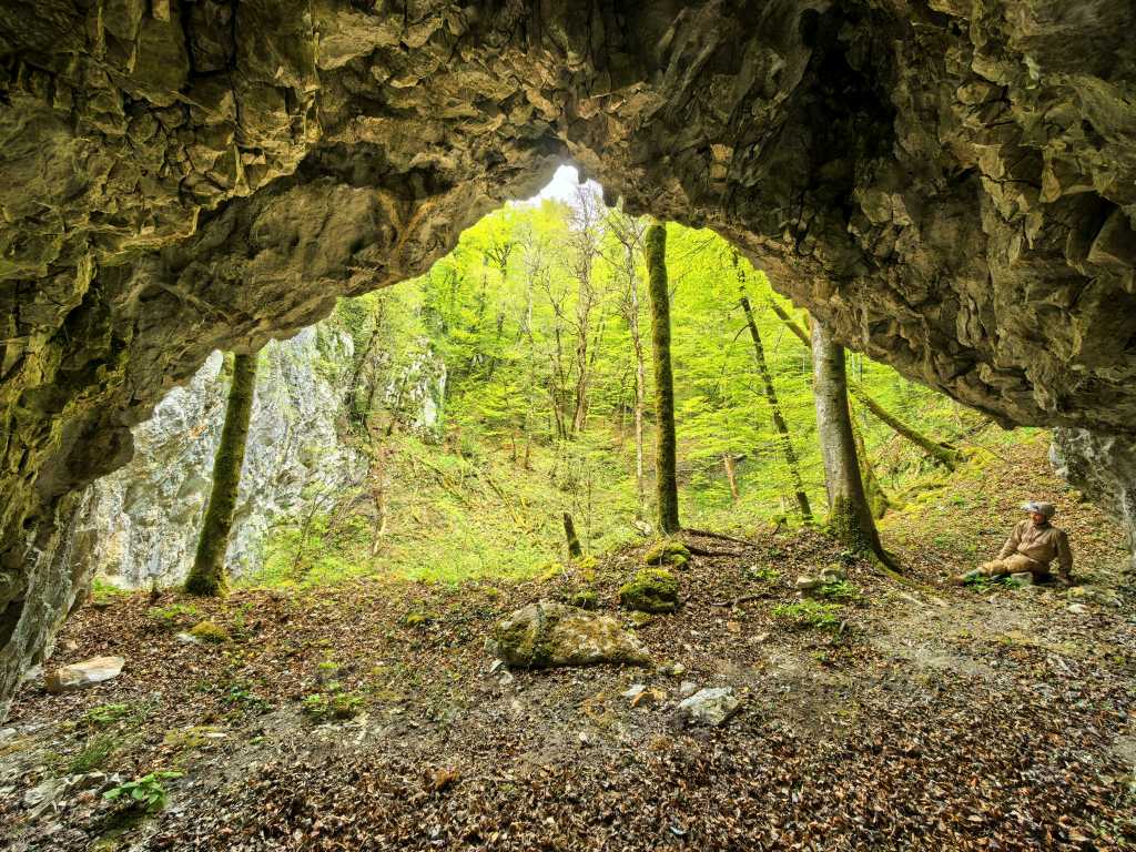
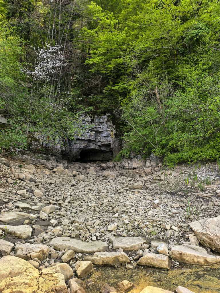
56886. View from the entrance toward the outside ...
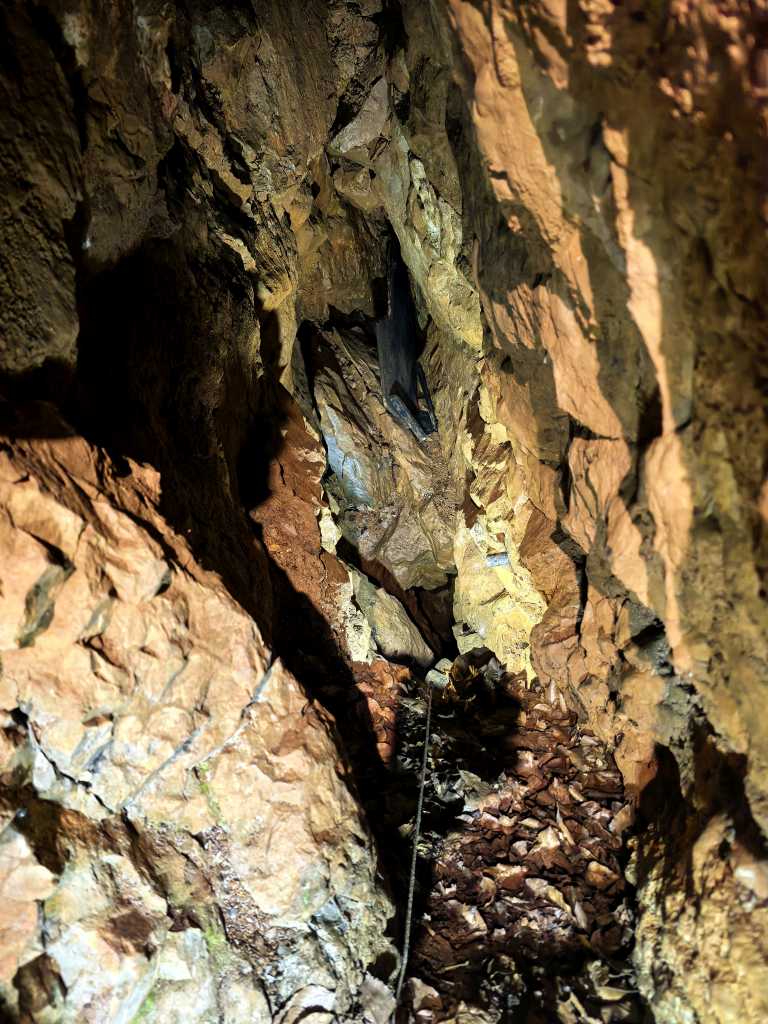
56887. ... and a view inside, where a short, gently sloping section turns into a more or less vertical shaft (the dark area slightly below the center of the image). At the end of the rope on the ground hangs a small floodlight that illuminated the interior.
Koper, April 25

MP1. The author stands next to the BYD Dolphin Surf, which many consider the most interesting electric car of 2026. Its biggest competitor on the Chinese market, the Geely EX2 — which is slightly roomier, designed more in the style of BMW’s Mini, and features rear-wheel drive for better power utilization — is delayed on the European market and is expected to arrive around the start of 2027. The car shown in the photo has a 43.2 kWh battery, has the curb weight (EU) of 1,465 kg (which increases the base model’s — 30 kWh and 1,294 kg — price from 13,000 to 18,000 euros) and is expected to have a range of 500 kilometers in the city; at a constant speed of 90 kilometers per hour — the minimum speed required on the highway to avoid getting in the way of trucks — the range is 250 kilometers.
The cave Suhadolca (Skadulca), April 26
56906. View from the Cvinger lookout point toward the east, across Lake Cerknica
56907. View across the sandy shallows in the stream before the Rakovski mostek toward the south, toward the Javorniki Mountains. The flow was only about 2 liters per second, but access to Velika Karlovica was still closed. The gate at the tunnel entrance was lowered, just as it had been the previous Sunday.
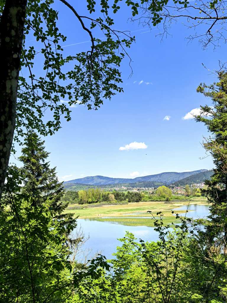
56908. View from the path to Suhadolca toward the northwest, across the lake with Cerknica in the background
56917. Entrance to the cave from the lake shore ...
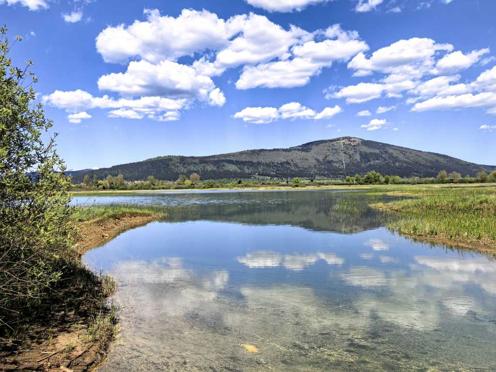
56916. ... and a view from the same spot looking north, across the lake toward Mt. Slivnica.
56914. The entrance up close. The cave is an estavelle, and at high water a torrent gushes out of the opening on the left.
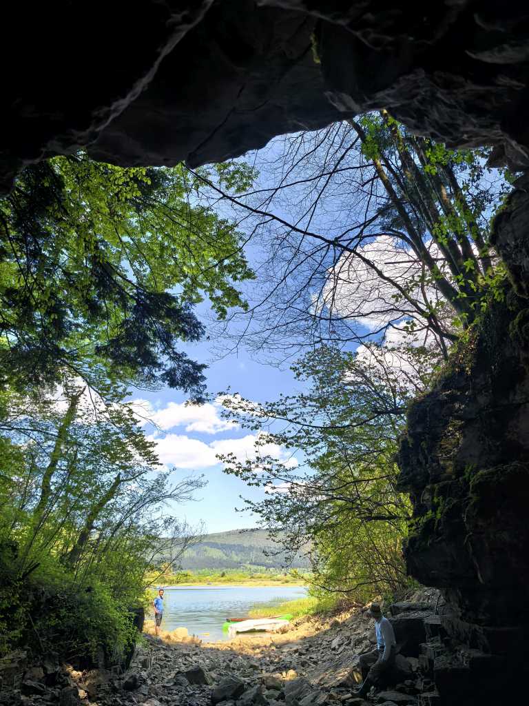
56912. View from the cave entrance toward the lake, with Matej (left) and the author
56910. View from the tunnel leading into the cave toward the entrance, with the Vrbnjak family ...
56911. ... in this shot from the same spot, seen in a telephoto view.
56909. It was the author’s first time at the cave; he didn’t know what to expect, and on such a warm day, he didn’t feel like putting on more serious caving gear — and he also brought only three lights. In the photo across the small lake toward the interior of the cave, as far as he dared to go, all three were used. The passage leading into the tunnel is not paricularly wide; to explore it, a caving suit and helmet would be even more advisable. It is shown here by a black diamond two hats to the left of the author’s head.
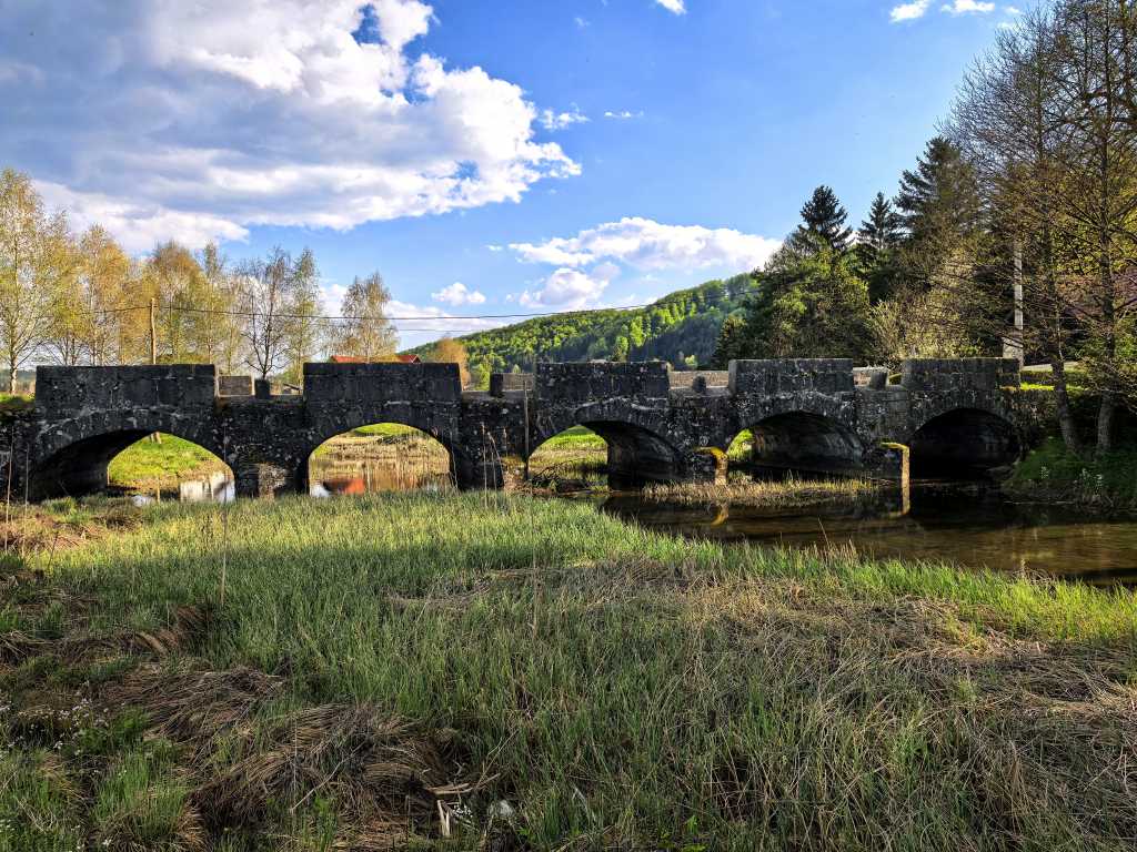
56924. A downstream view of the five-arch Napoleon Bridge over the Bloščica River, built in 1858. As the people of Bloke recall, the stream beneath it first dried up in 2001, and then again in 2003, 2011, 2012, and 2021. The photo was taken during an educational tour of the waters and sinkholes in Bloke, intended for guides of Križna jama; it was led by Alojz Troha.
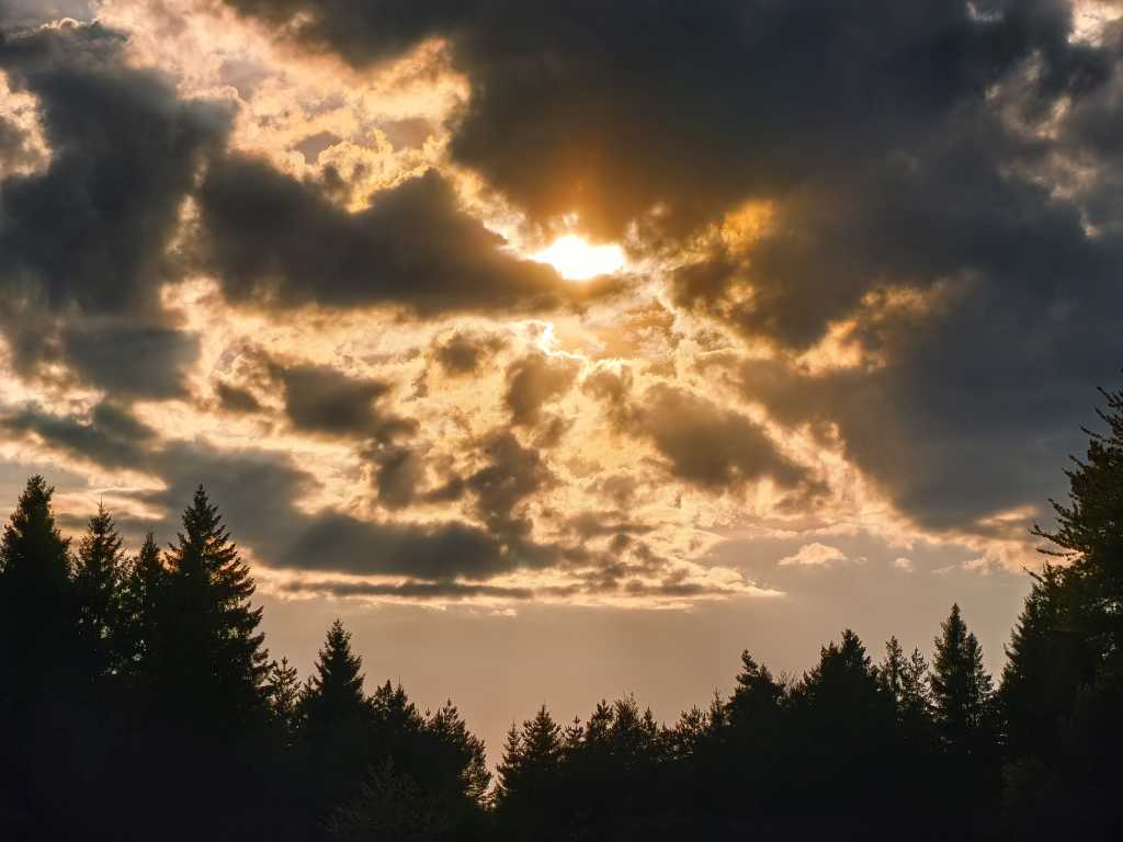
56925. Late afternoon sun through the clouds above Studeno, view from the Glina-Studeno road
Related pages:
 At the Gradišnica Abyss, April 17, 2026

This page, text and photos by Primož Jakopin,
member of the Ljubljana Cave Exploration Society (DZRJL).
Send inquiries and comments to primoz jakopin guest arnes si
(insert dots and at sign as appropriate).
The page was made on April 29, 2026; date of the last change: May 1, 2026.
URL: https://www.jakopin.net/primoz/slike/2026/PJ20260419_en.php
20